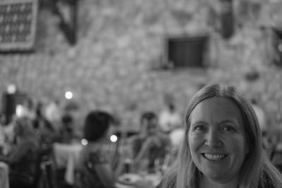
I guess we enjoyed the darkness of the Frontier cabin since we both slept until nearly 9:30AM. After we got up and started moving, we went to the dining room to find out about breakfast. Unfortunately, we missed the breakfast window, so we tried the coffee bar. They closed at 10:00AM. The deli was open, but they were switching from breakfast to lunch. Jennie picked up a cinnamon roll and I picked up a slice of pizza. The look on her face said it all. I noticed in the picture that she was holding the fork in between certain fingers in a "Fork You" kind of way.
After our improvised breakfast, we packed up our camera stuff, got into the car, and drove to some of the places in the North Rim. Our first stop was Vista Encantada, a picnic spot along the way. There were some nice views of the canyon from this spot. We sat under a tree, taking in the scenery and cool breezes blowing in the wind. We spent about 15 minutes under the tree.


We got back in the car and kept on driving. We made it to the parking lot where the Cape Royal trail starts. We started walking the trail and came across the first view of Angels Window. We grabbed some photos of the window, and continued walking out onto the the arch that extended over the canyon. The views were stunning and made us feel like we were floating above the canyon. According to online sources, Angels Window was formed over 300 million years ago. The part we walked on was made up of a layer of rock called the Supai Group. For comparison, the top layer of the Grand Canyon (the Kaibab Formation) was formed 270 million years ago, and the bottom layer where the Colorado River flows was formed 1.8 billion years ago. The Supai Group is made out of a soft sandstone layer called the Redwall Limestone and a harder layer known as the Supai Formation. Over hundreds of millions of years, the Redwall Limestone layer was eroded by wind and water. Only the Supai Formation is left. Eventually, it will collapse. Angel's Window was possible named when the first explorers of the Grand Canyon saw the arch and were in awe of its shape and the breathtaking views of the canyon.
We ran into a couple from Nuremberg, Germany, who offered to take the picture of Jennie and I. They were making a crazy tour of the West. They had flown into Vegas, visited Bryce Canyon, Zion, and were going to hit Moab, Yellowstone and several other parks along the way.
We decided that it was going to be too far of a walk to get to Cape Royal, so we headed back to the car and drove back towards Point Imperial. Imperial is linked to the Cape Royal highway by a bendy, side road, which climbs the narrow valley of upper BrightAngel Creek. The surrounding forest was nearly destroyed from fires, but groves of Aspen Trees have started to spring up. From the parking lot it was a short walk to the viewing point overlook which jets out over the canyon, with the land falling away on three sides. From the viewing point we had a great view of the Echo and Vermillion Cliffs, the upper Colorado canyon and a flat plateau east of the Colorado River. Point Imperial is the highest spot in the Grand Canyon at 8,803 feet.
We got back into the car and drove back to the lodge. Jennie stopped in the saloon and picked up a slice of pizza. After pizza time, we grabbed a few cold beers, found a place on the patio and sat there for a couple of hours until it was time for dinner. As usual, dinner was great. Since our reservation coincided with sunset, the views from our table were incredible. After dinner, we made our way back to the cabin and were out pretty fast.


